Move over weather forecasts — the latest satellite tech isn’t just watching clouds. It’s watching the soil. Thanks to hyperspectral satellites, we can now map soil health from space with stunning detail. Think of hyperspectral imaging as ultra-HD for the planet. While your phone camera sees three bands (red, green, blue), these satellites see hundreds of wavelengths, revealing what the naked eye can’t.
Why should we care about this? Because soil is the unsung hero of everything from food security to climate change. And right now, we need better ways to monitor it — globally and in real time.
🚀 What Hyperspectral Satellites Can Do for Soil:
- Spot soil degradation before it gets serious.
- Map nutrients and organic carbon — no shovel required.
- Track moisture levels, helping farmers optimize irrigation.
Satellites like Europe’s EnMAP, Italy’s PRISMA, and NASA’s upcoming SBG are already scanning Earth’s surface in hyperspectral glory. When paired with AI, they can predict soil properties with lab-level accuracy — but from hundreds of kilometers up.

Hyperspectral Satellite – 5M Spatial Resolution Imagery (Confidential Location)
Using machine learning models, scientists match spectral signatures (light patterns) from satellite images with real-world soil samples. Over time, this builds predictive maps that help farmers, environmentalists, and policy makers make smarter decisions.
The decisions are no longer on hunch but rather data backed with precision.
🧠 The Tech Behind the Trend
Using machine learning models, scientists match spectral signatures (light patterns) from satellite images with real-world soil samples. Over time, this builds predictive maps that help farmers, environmentalists, and policy makers make smarter decisions.
🌱 Why It Matters Now
In a world facing climate stress and population growth, better soil management = more food, less waste, and healthier ecosystems. And the best part? It’s scalable. From the rice fields of Asia to the deserts of Africa, this tech works anywhere the satellite can see. So next time you think of space tech, don’t just picture Mars. Think soil. Because the future of farming might just – to our surprise – come from above.
🙌 How You Can Support
This is a global effort—and our foundation needs your support to carry the message across borders:🌍 Share this blog:
📌 Use Hashtag: #SaveSoil
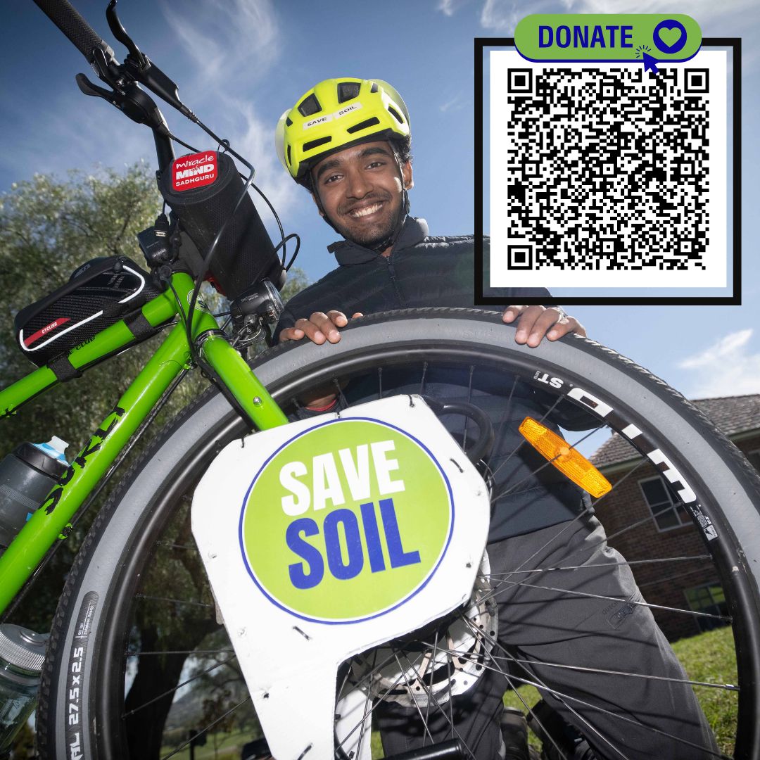
💚 Donate Us: Support us with your small donations here
🌱 Join the movement: Become an Earth Buddy at savesoil.org
🌾 Why Save Soil?
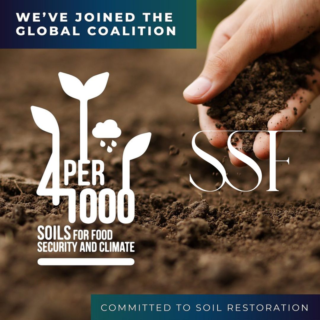
The Save Soil movement is a mission that belongs to humanity, driven by individuals and communities who believe in the power of collective action. Save Soil Foundation (SSF) is an independent initiative led by volunteers of the Save Soil campaign. SSF works tirelessly to expand the efforts of the Save Soil movement, amplifying its message and engaging people worldwide in the crucial fight for soil health.
As an organization, SSF embodies the values of inclusivity and collaboration, partnering with individuals and groups from all walks of life to make a tangible difference. Together, we are part of a global network committed to preserving the health of our planet’s soil and, by extension, the wellbeing of future generations.
We invite everyone to join us on this journey. Visit SaveSoil.org to learn more about the movement, understand the vital role of soil in our ecosystem, and discover how you can contribute. Let’s work together to make a conscious choice to protect our soil, preserve our planet, and secure a better tomorrow.
Source – SSF Volunteers